
trainer:
Dr. Árpád somogyi
Adjunct Professor
Department of Photogrammetry and Geoinformatics, Budapest University of Technology and Economics
Module II.:
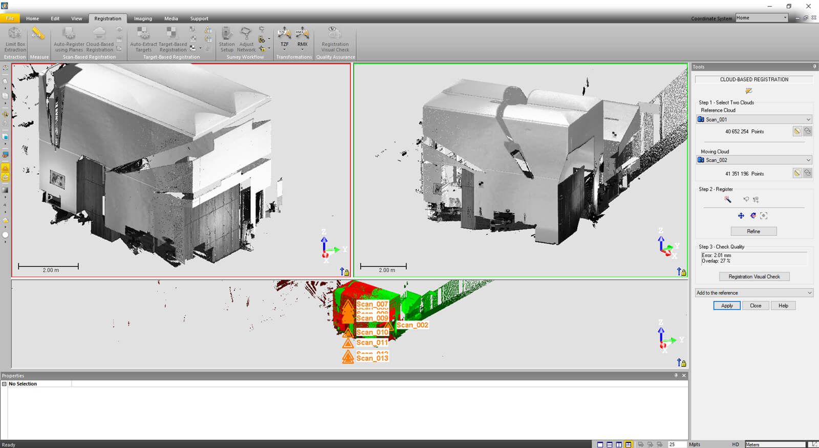
POINT CLOUD PROCESSING
időtartam: 1 NAP
ABOUT OUR TRAINER
Dr. József Árpád Somogyi
Adjunct Professor
Department of Photogrammetry and Geoinformatics, Budapest University of Technology and Economics
Since his PhD research he has been working on point cloud processing and modelling. He has developed data acquisition and processing workflows optimized for accuracy, reliability and efficiency. He has applied his experience outside academia to industry.
WHO DO I RECOMMEND THE COURSE TO?
“How to ensure accurate and reliable surveys in practice? What steps lead from data collected in the field to point clouds that can be managed in BIM environments? During the course, students will perform laser scanner measurements and then acquire practical skills through computer-based exercises; they will learn the steps and methods of linking and fitting point clouds into a geodetic coordinate system, learn point cloud delineation and resampling techniques.”